Photo essay: Explore the ancient remoteness of Stewart Island/Rakiura through photos
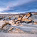
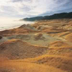
- Sand, in the vast quantities found on the western side of Stewart Island, creates the most ephemeral of landscapes.
- As prevailing westerly winds push it around, it provides a visual check of wind speed, the tiny grains creating ever-changing patterns as they flow relentlessly inland from the beach. The dunes of Stewart Island are some of the most significant and ecologically intact dunelands remaining in New Zealand. The largest area is the 630 hectares at Mason Bay (pictured).
- But there are other significant ones, such as Doughboy Bay and West Ruggedy Beach (pictured).
A backcountry photographer captures the raw, natural beauty of New Zealand’s third largest island in his book, Rakiura.
Words and photos: Rob Brown
Before I first went to Stewart Island/Rakiura, I had tried to visualize what it would be like — a common pastime for those who dream of making the journey across the Foveaux Strait.
My ideas of the island were shaped by the wilderness I already knew on mainland New Zealand: the dense and mysterious forests of Te Urewera, the compact and rugged Tararua ranges, the glorious height, scale and space of the Southern Alps.
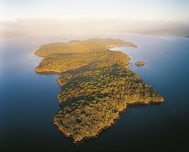
Some satellite islands around Rakiura have been cleared of rats — particularly Ulva Island, where visitors can now appreciate how birdlife flourishes in the absence of introduced pests; a window to what the rest of Stewart Island was once like, and could be again.
The island turned out to be little like I had imagined. It was more beautiful than I expected, though less obvious in its beauty, and more intensely remote. So completely did I become swayed by the island’s natural world that my camera rarely left my pack until I was at least a day away from the settled part of the island.
The photographs in Rakiura reflect this and are, in a way, a testament to my belief in the importance of natural beauty — ancient natural beauty — in our lives.
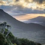
- Day breaks over Ruggedy Flat from Hellfire Pass. In the northwest, the Ruggedy Range is a sawtooth spine of predominantly red granite that rises from the ocean to 510 metres and stretches 13 kilometres to Hellfire Pass in the south.
- Mānuka forest clings to the edge of Mason Bay dunes. Mānuka is one of the most impressive plants on Rakiura, with its ability to stabilize poor soils and tolerate extreme weather conditions. Depending on the site, it has evolved into several forms, from the tall forests of Freshwater Flats to the windswept scrub of the alpine tops; in all, mānuka covers some 50 to 60 square kilometres of the island.
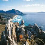
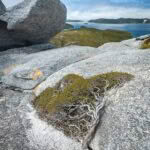
- Windswept mānuka clings to the rocks above Shipbuilders Cove, Port Pegasus.
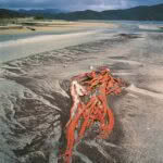
- Bull kelp washed up at Doughboy Bay.
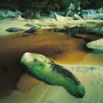
- Wild beaches, diverse forests, beautifully situated huts and stunning wildlife are all part of perhaps the best-known tramp on the island — the North West Circuit. Smokey Creek (above) is one of many natural wonders on this challenging tramp.
I would like to think that my book Rakiura: The Wild Landscapes of Stewart Island makes a small contribution to advancing this belief because if we lived in a world without places like Stewart Island, then surely the human spirit would be diminished?
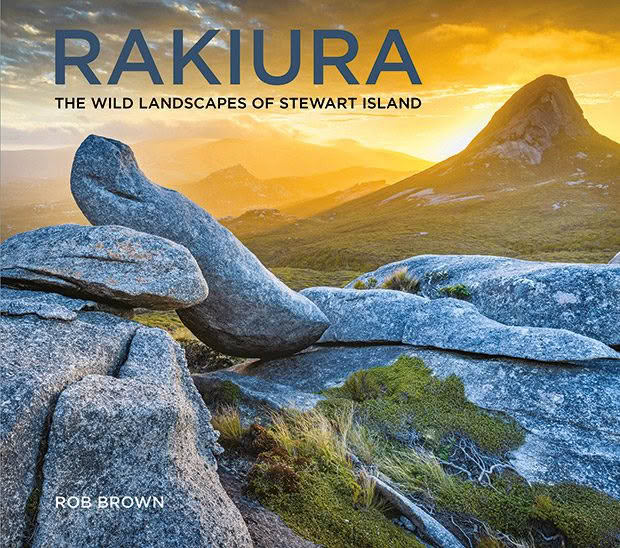
Extract from Rakiura: The Wild Landscapes of Stewart Island by Rob Brown. Published by Potton & Burton.
Love this story? Subscribe now!
 This article first appeared in NZ Life & Leisure Magazine.
